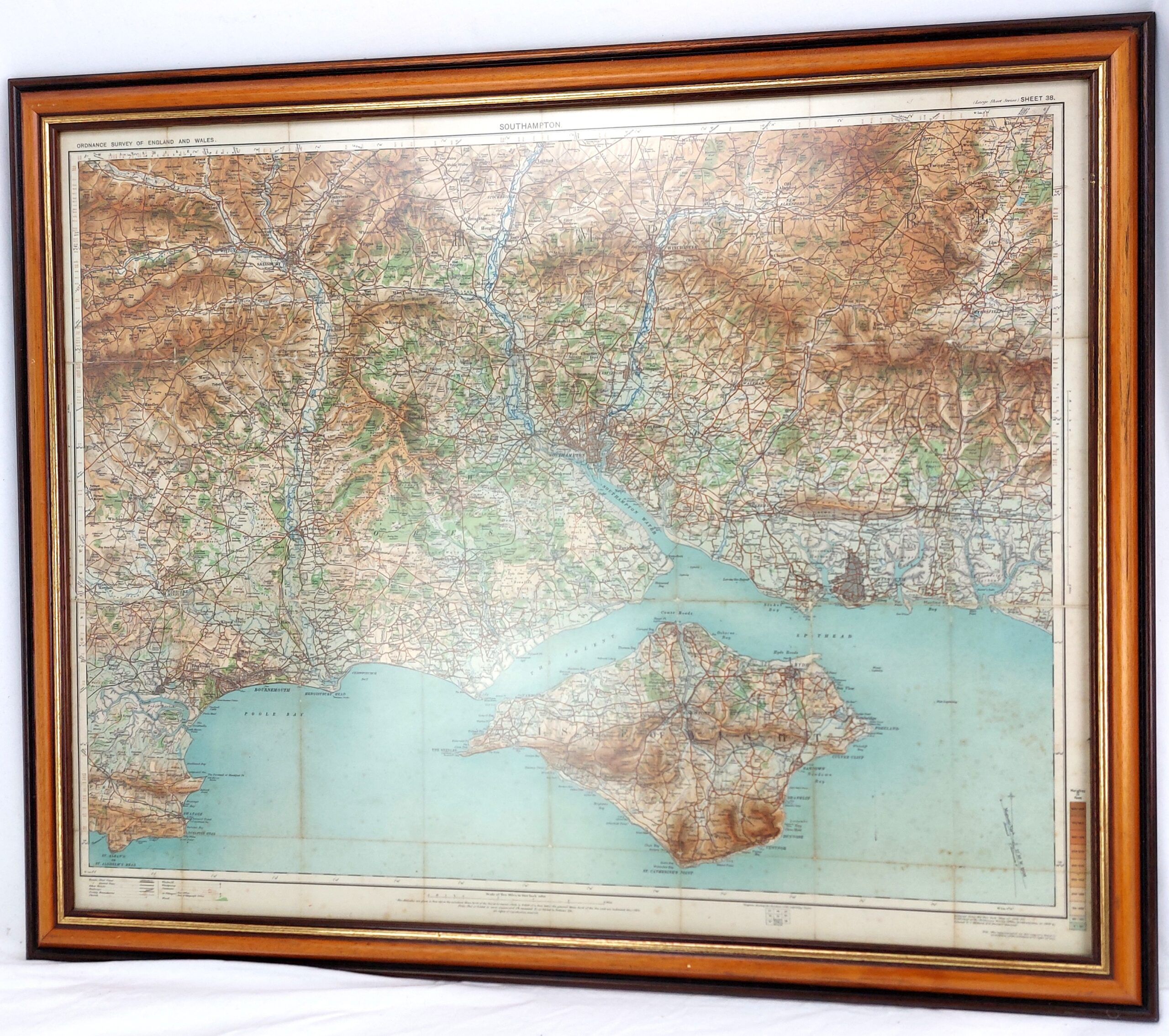
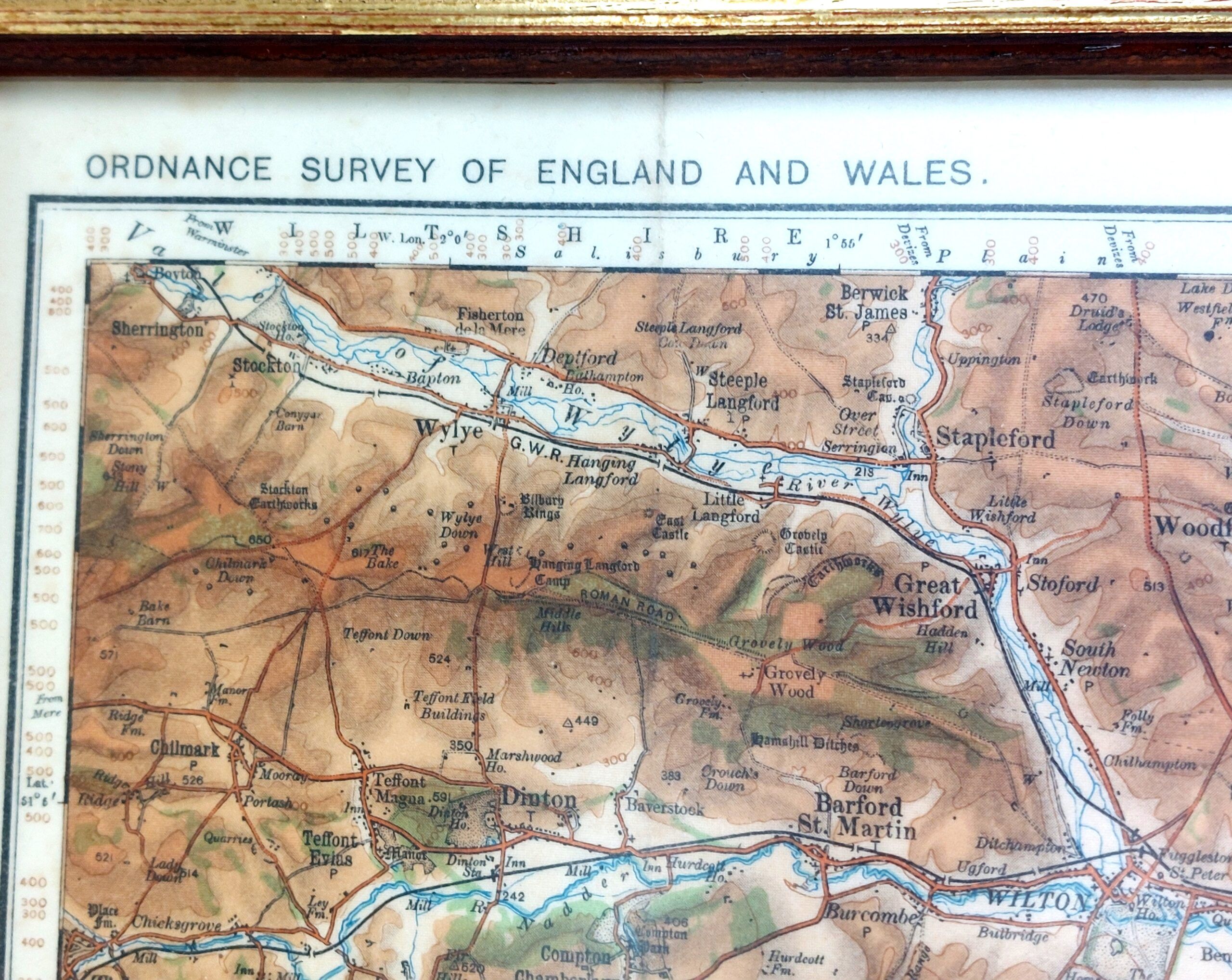
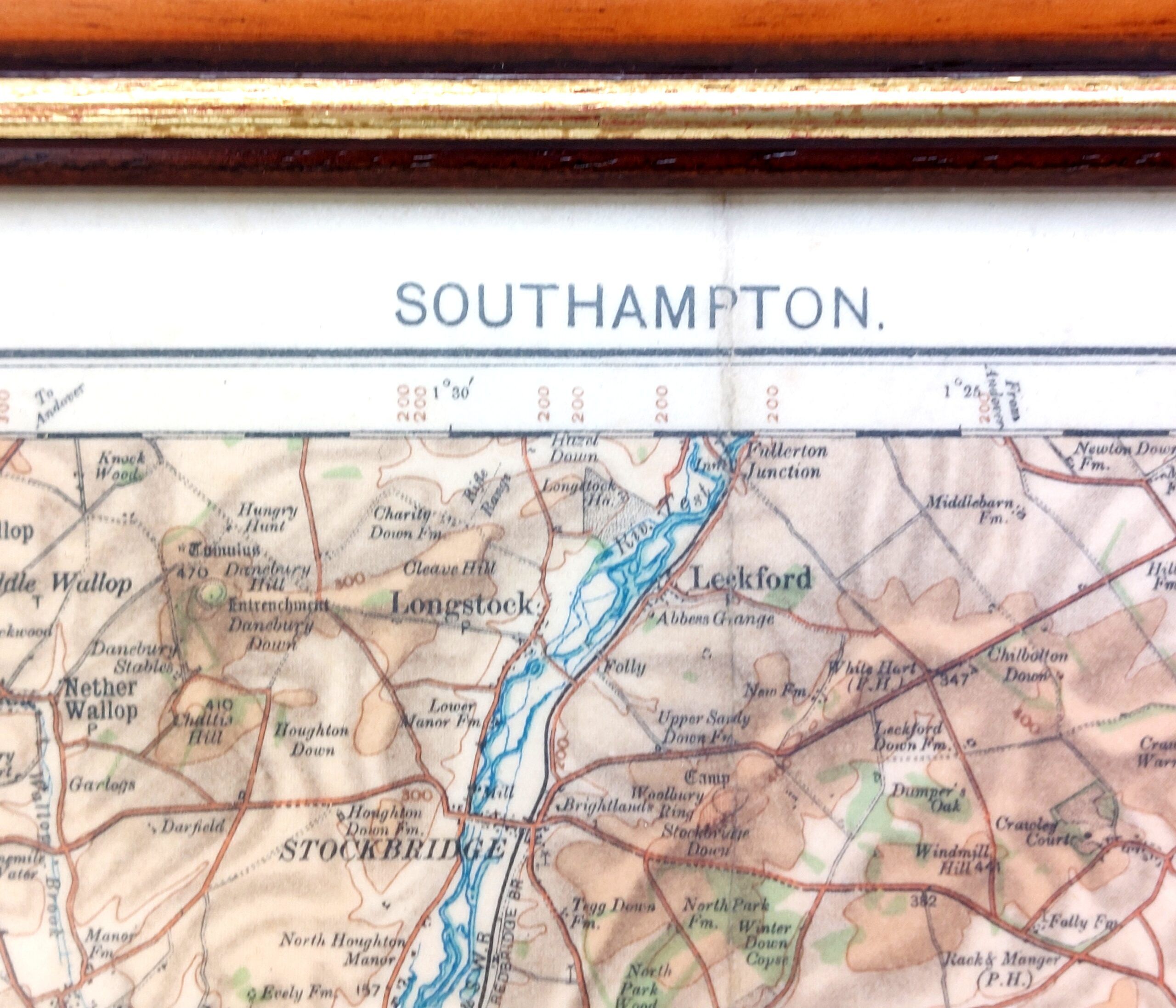
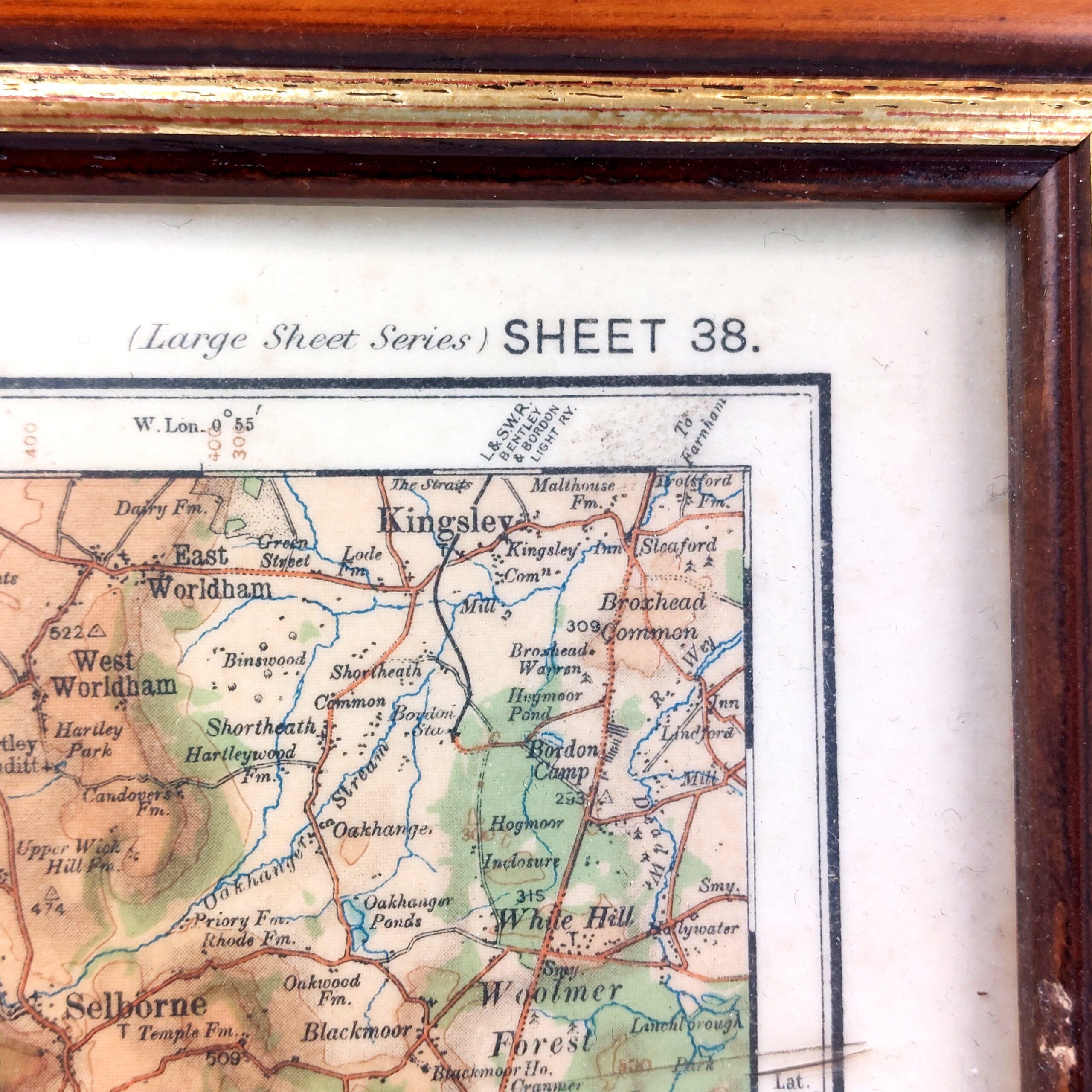
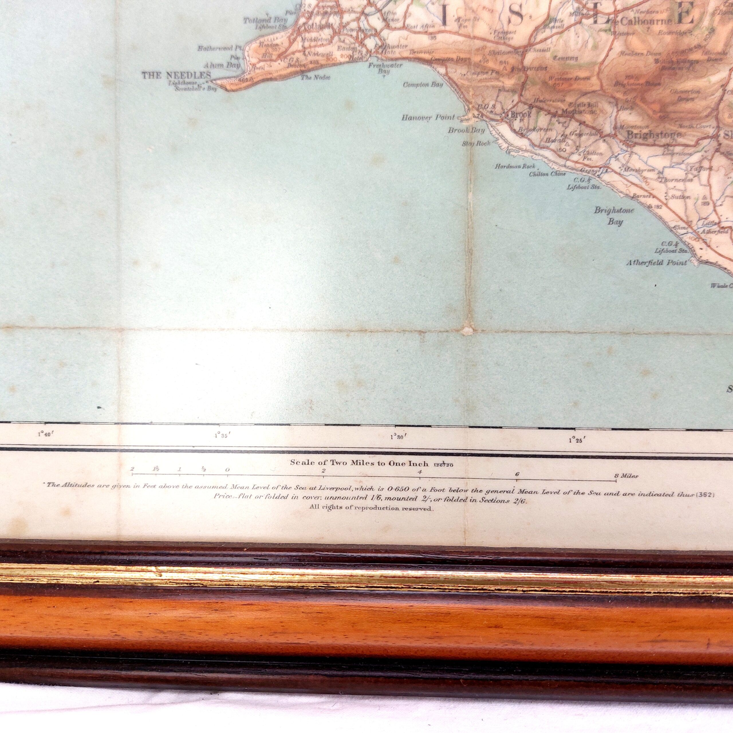
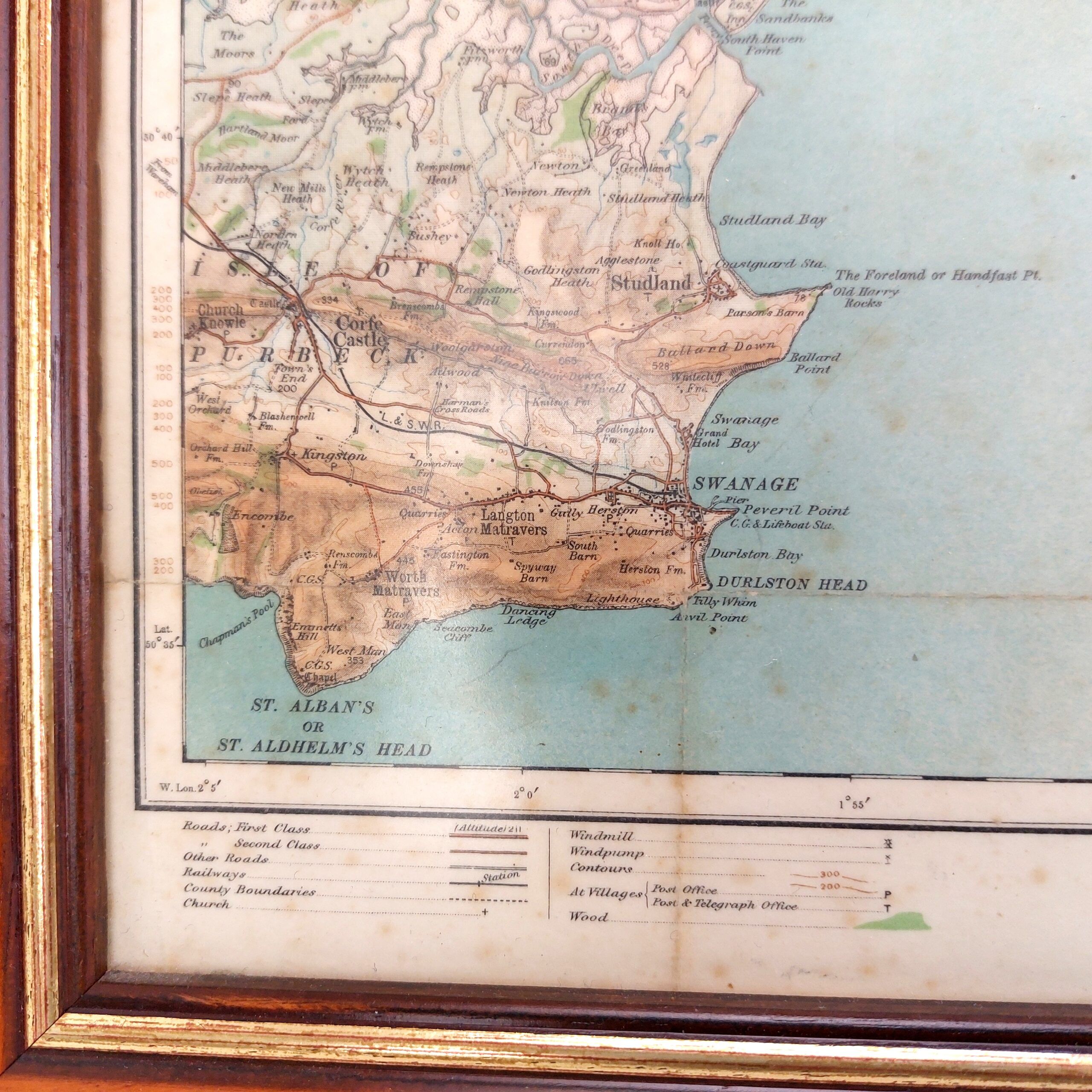
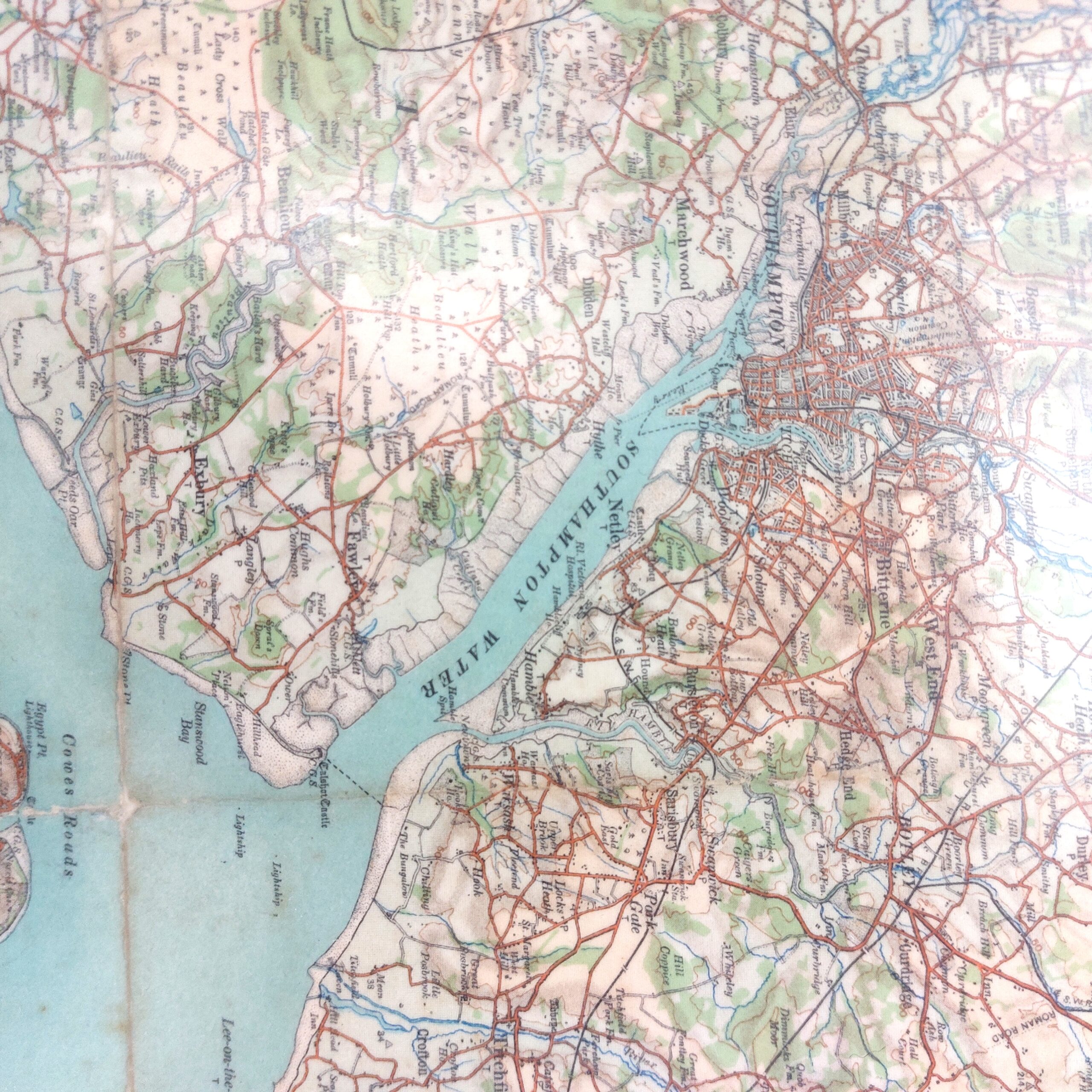
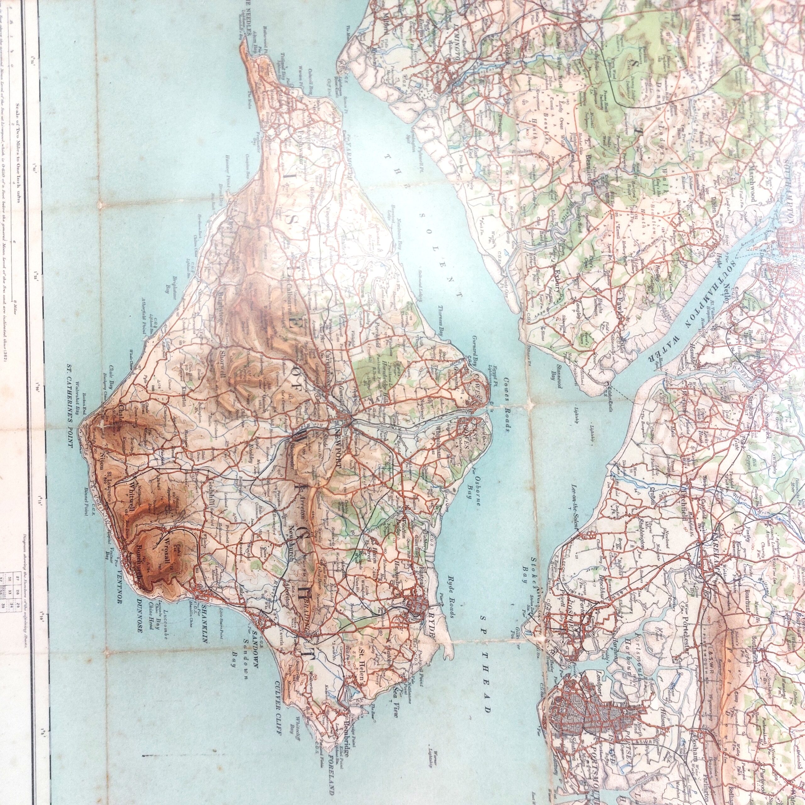
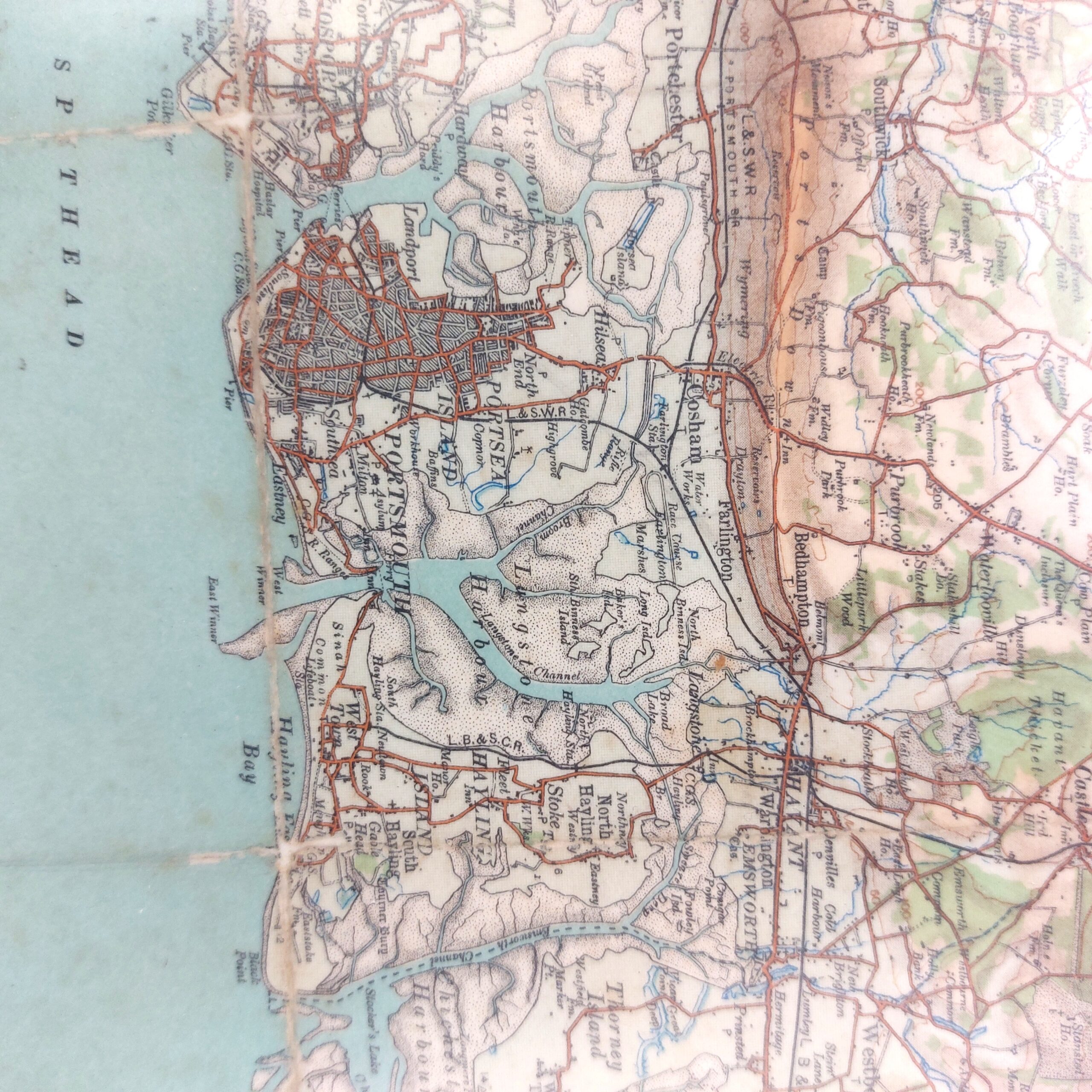
Framed Map of Southampton, Portsmouth & Isle of Wight, Two Miles to One Inch, Sheet 38, 1906

SKU / Ref. No: RQMEOXAOO_1891148356

£125.00

Would you like to find out more about this product?

SKU / Ref. No: RQMEOXAOO_1891148356

Enquire about this product

*Framed Map of Southampton, Portsmouth & Isle of Wight, Two Miles to One Inch, Sheet 38, 1906.*

A nicely framed map of Southampton including the isle of Wight.

Framed approx measurement: 80.3cm x 65.8cm

Sheet 38 - Southampton, Portsmouth & Isle of Wight
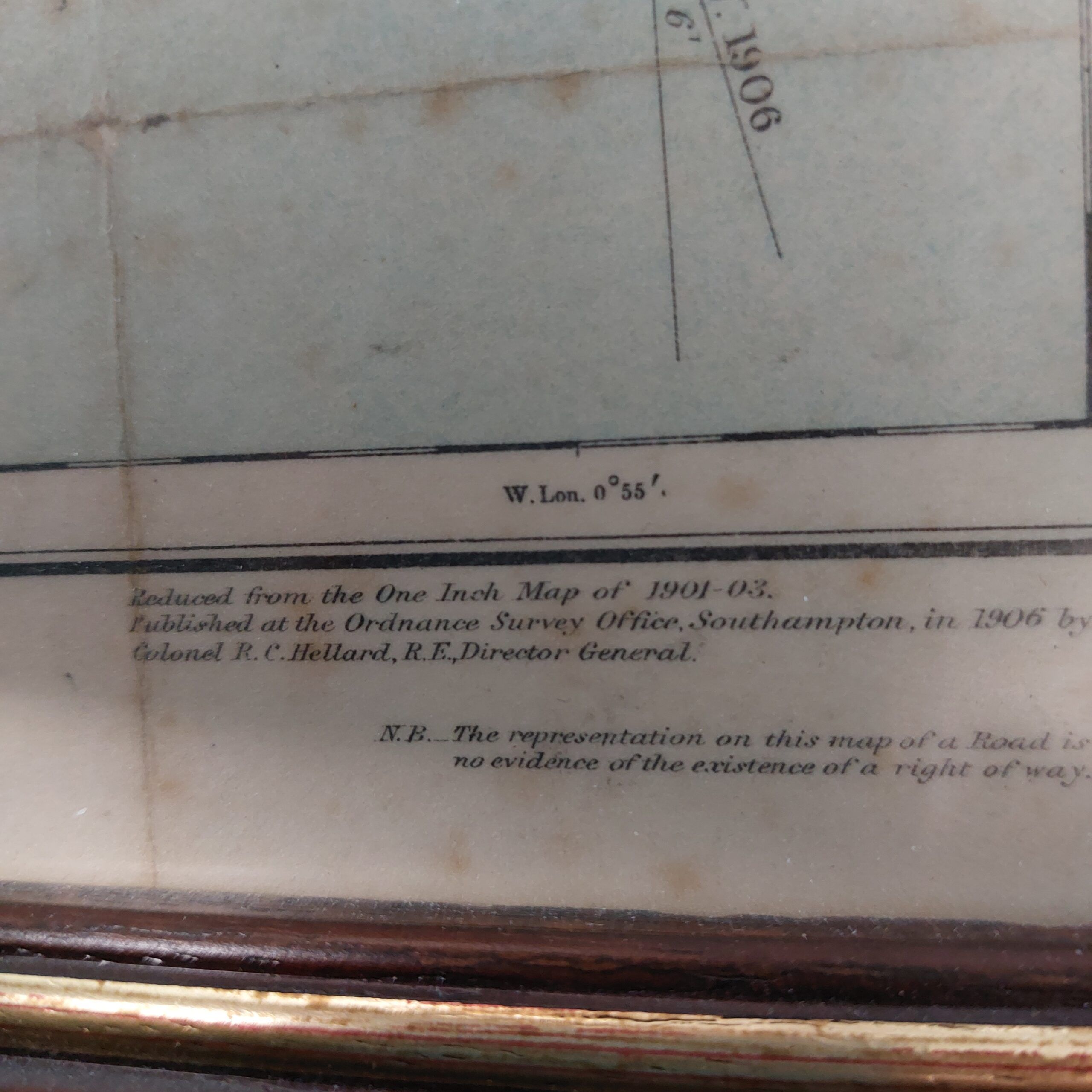
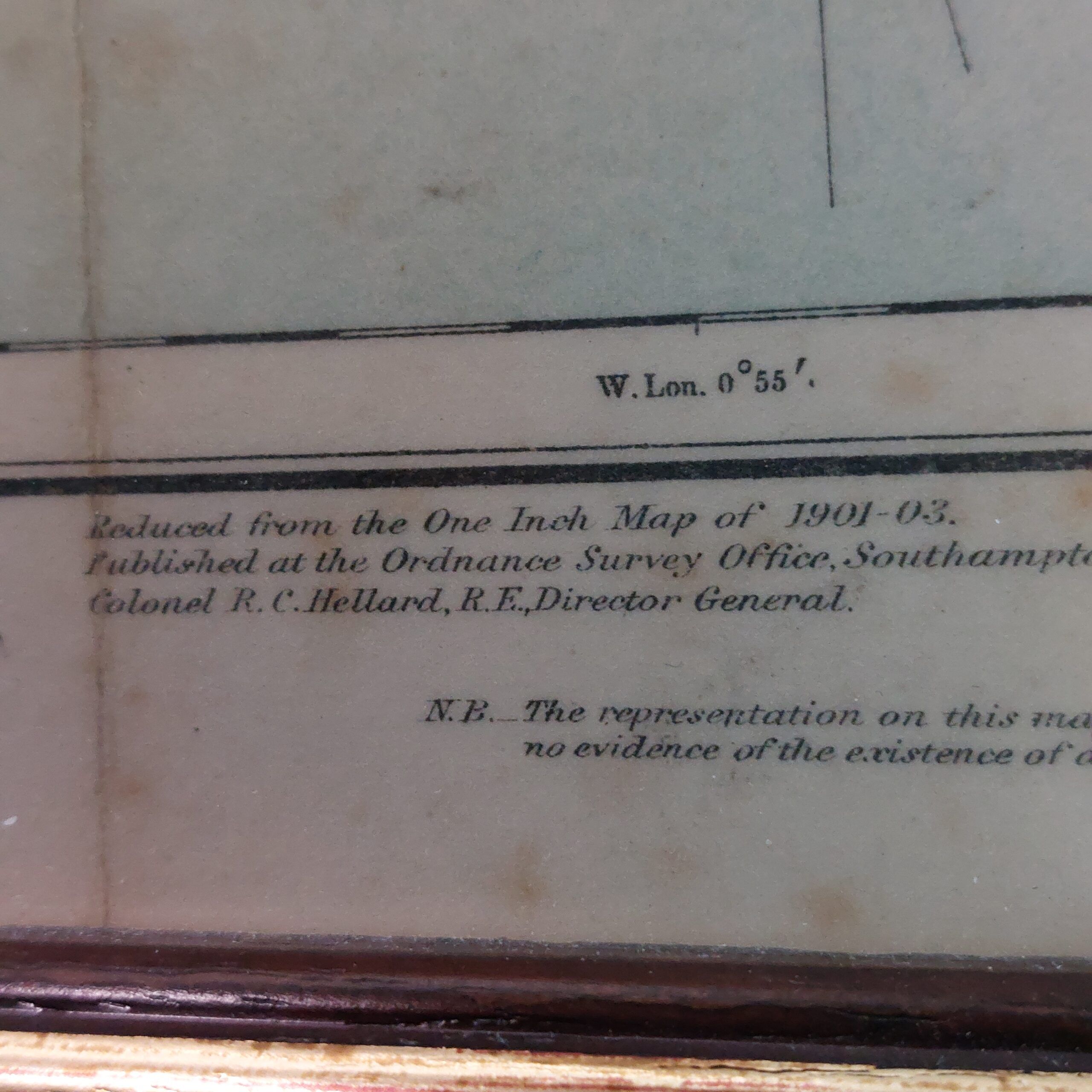
"Reduced from the One Inch Map of 1901-03. Published at the Ordnance Survey Office, Southampton, in 1906, by Colonel R.C. Hellard, R.E., Director General."

*Condition*
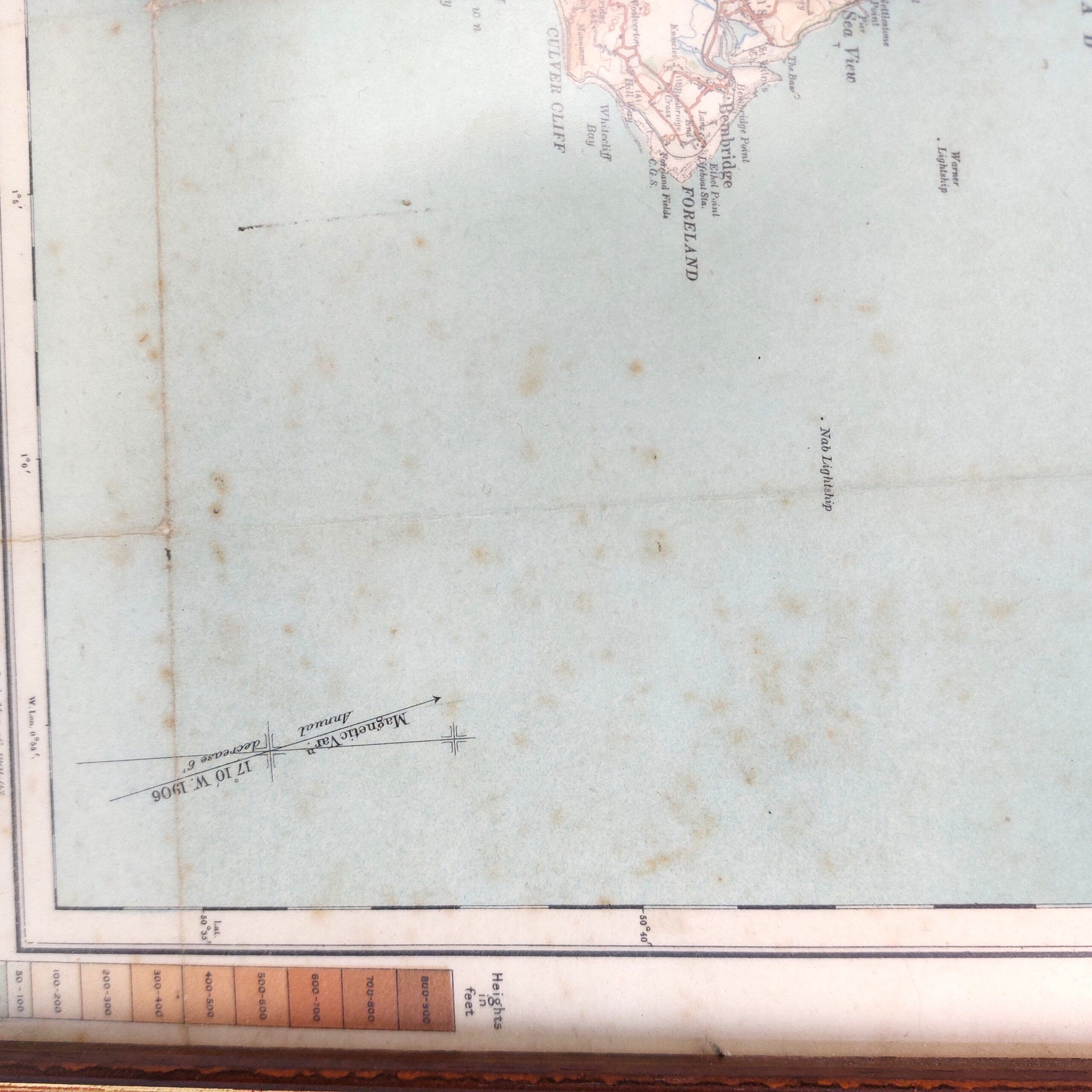
The map has been folded before it was framed and the fold marks are evident. There is some foxing and minor discolouration but this adds to the charm of the map. Please see photographs as part of the condition report.

RQMEOXAOO_1891148356

, , , ,

Download QRPrint QR
Scroll to Top