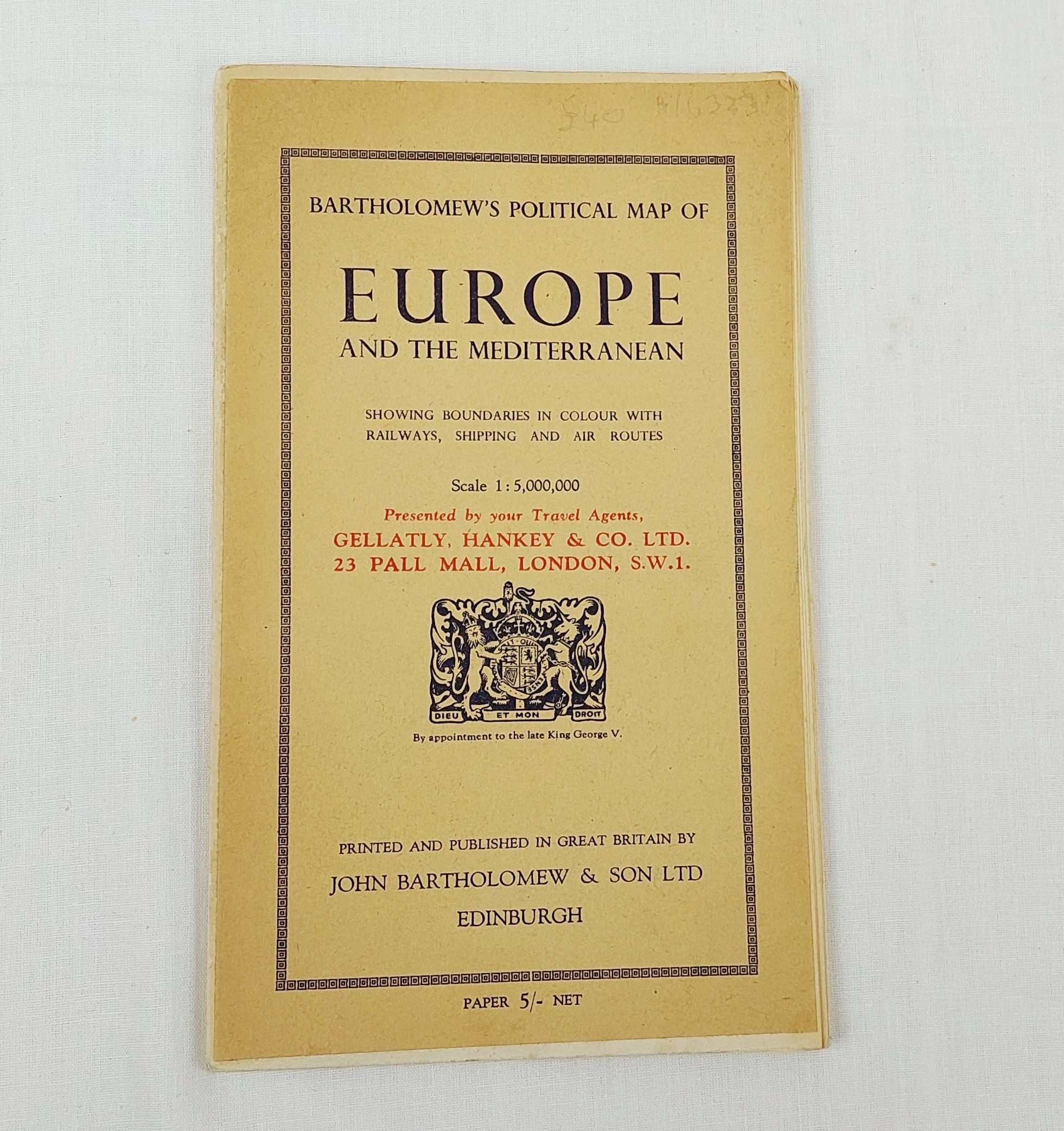
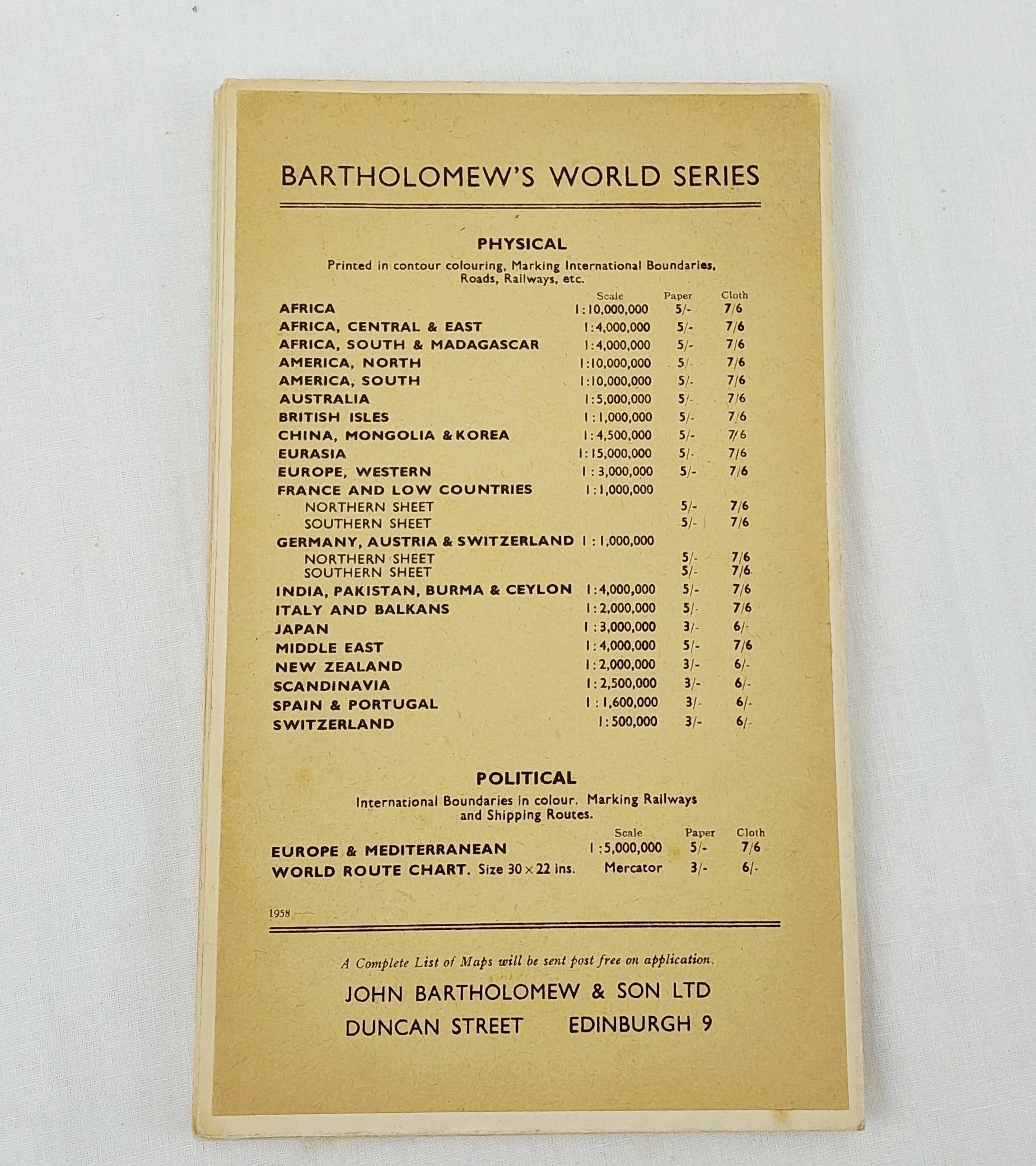
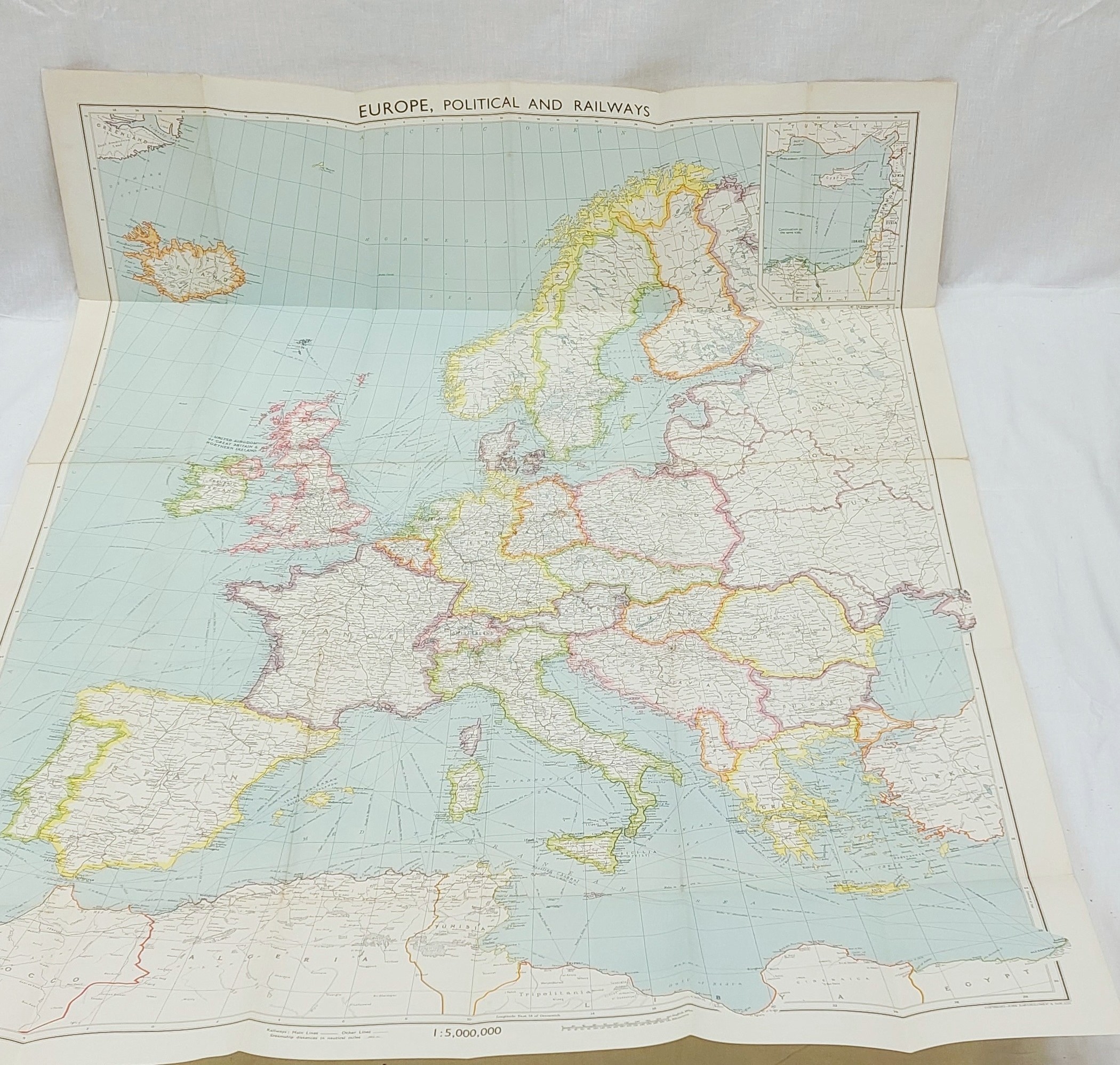
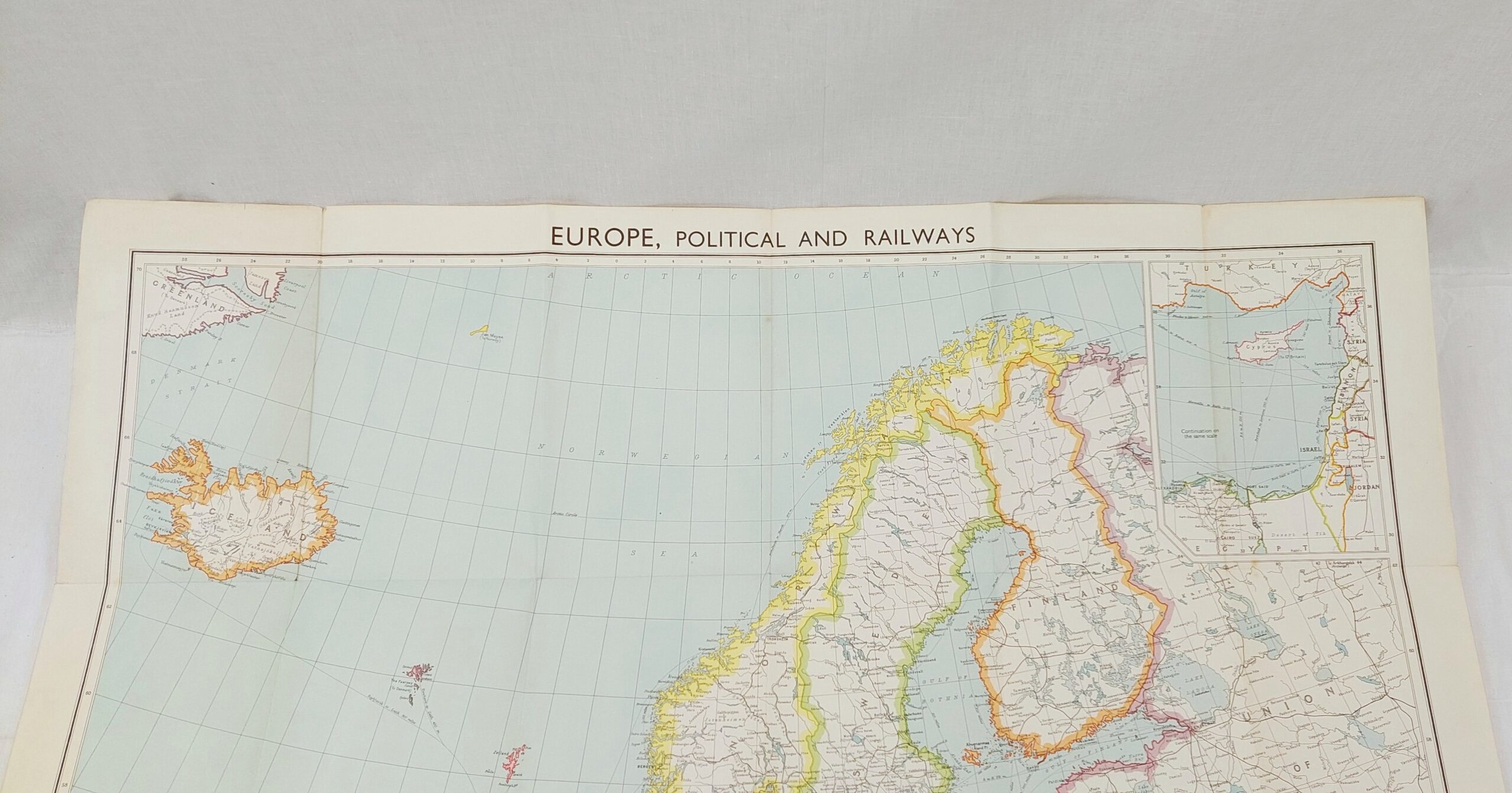
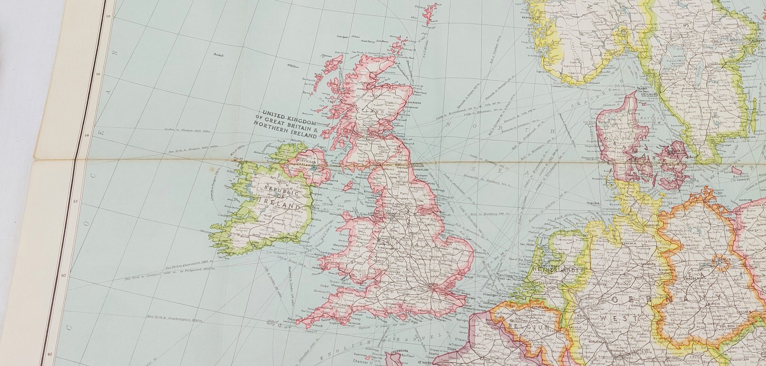
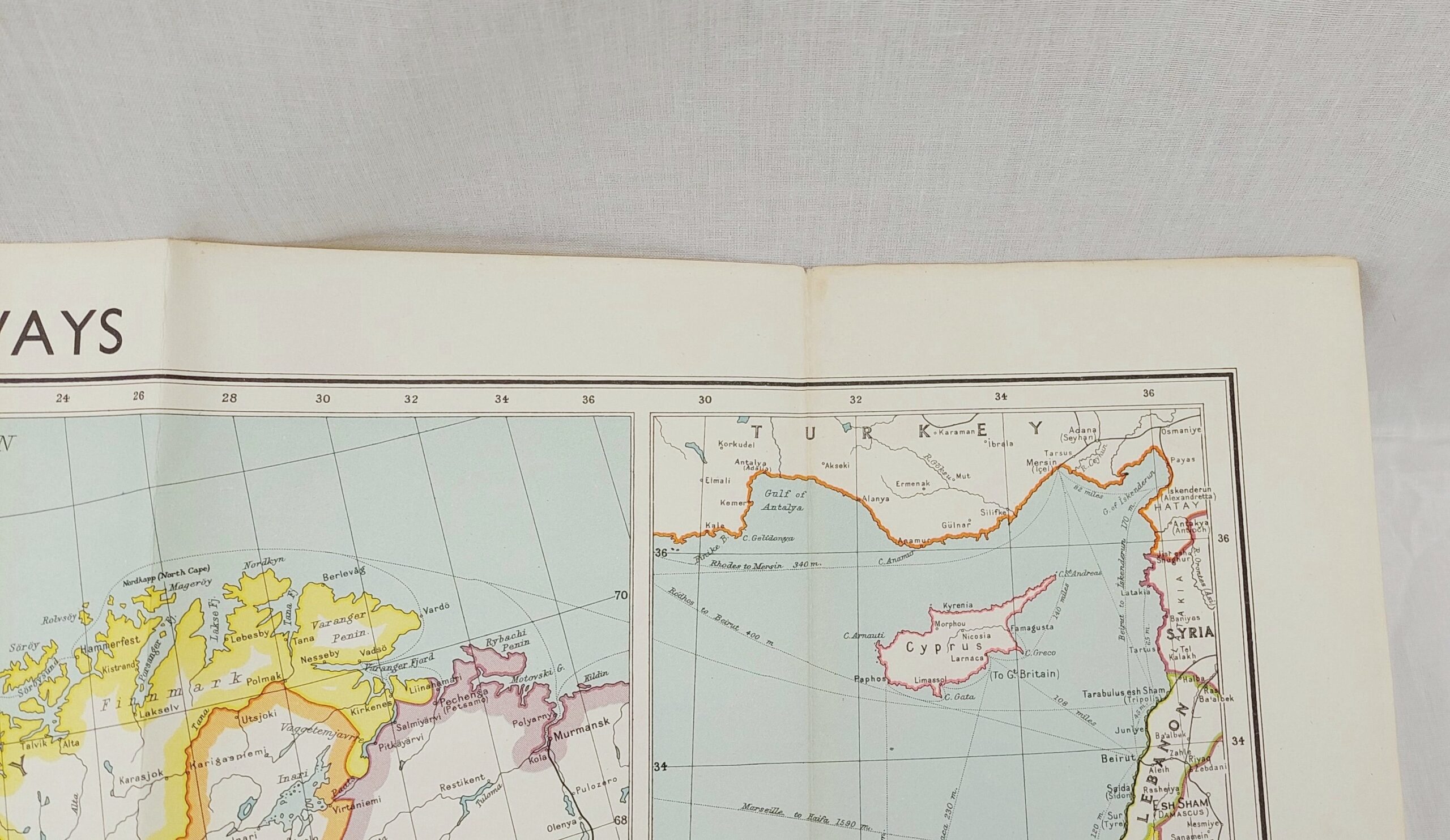
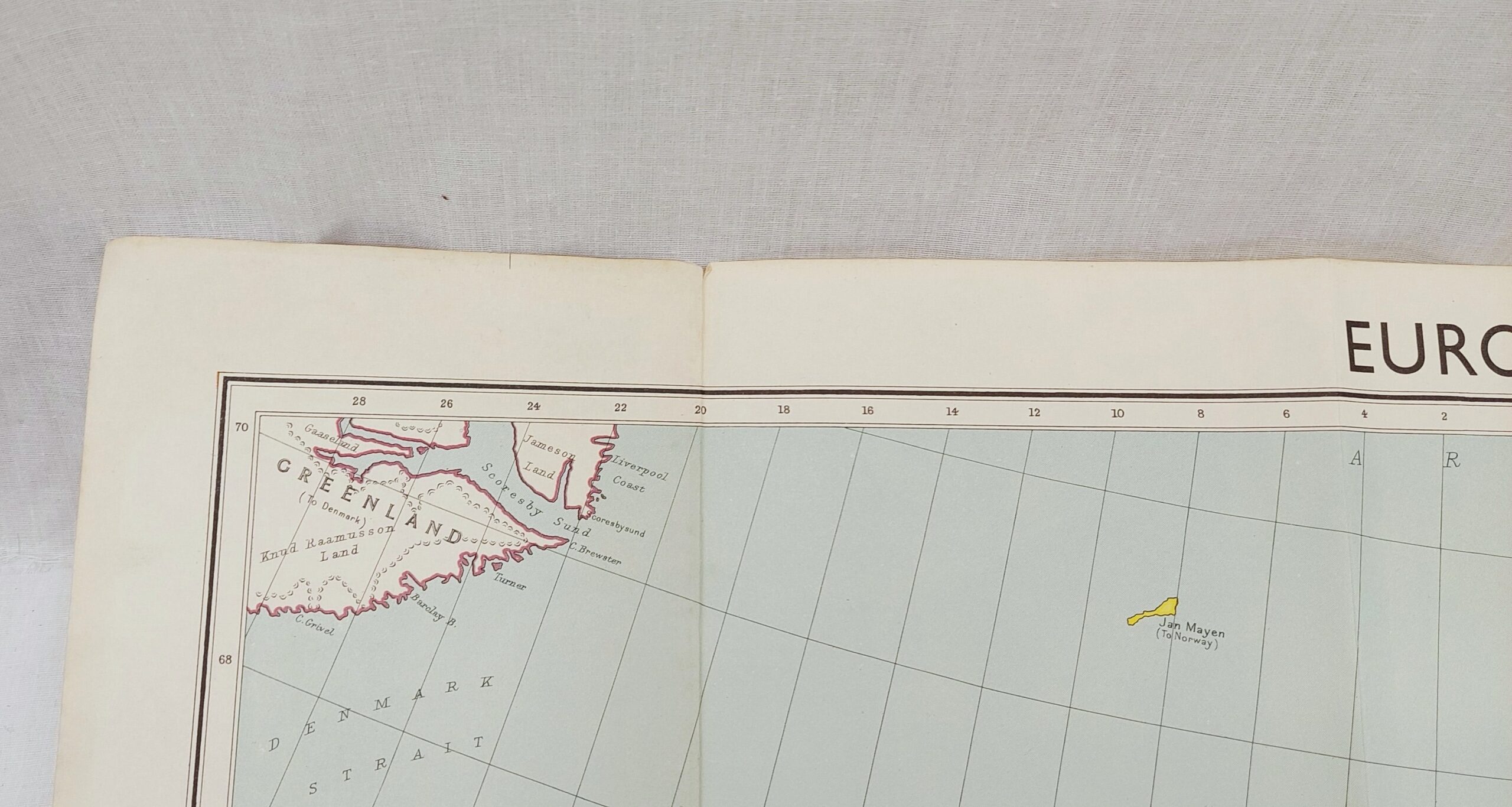
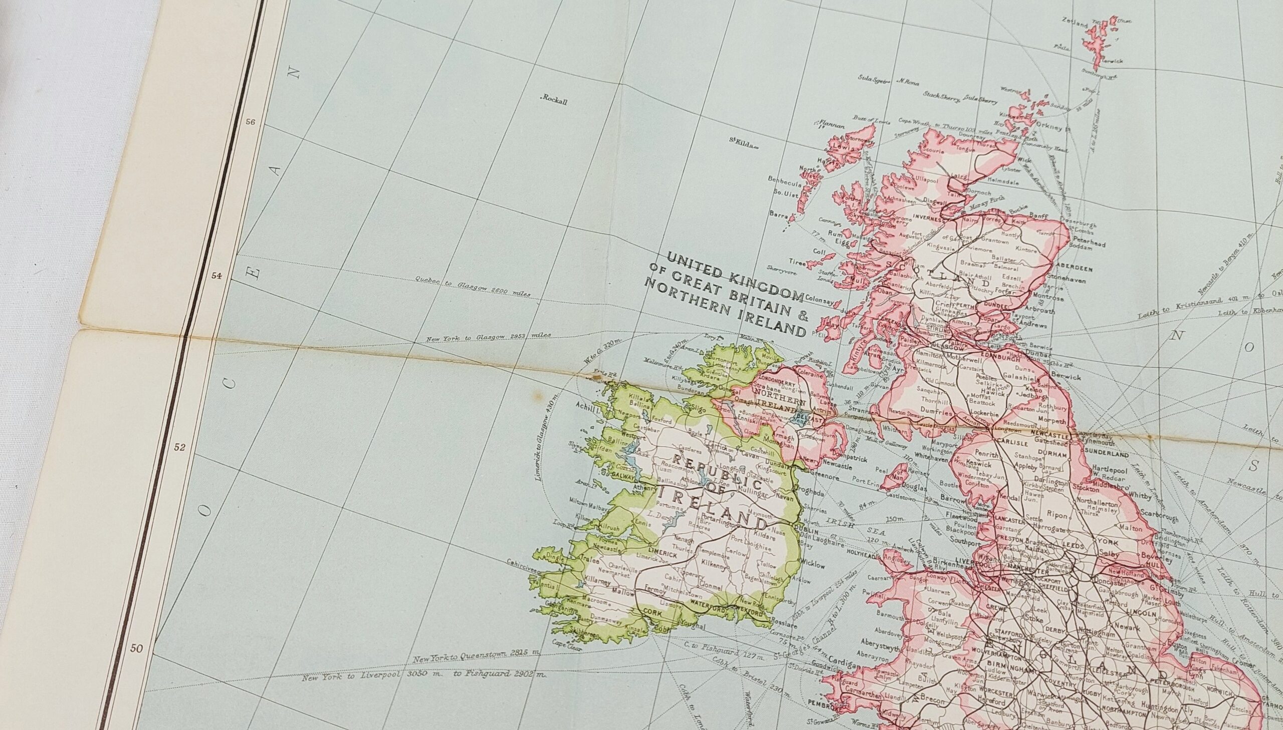
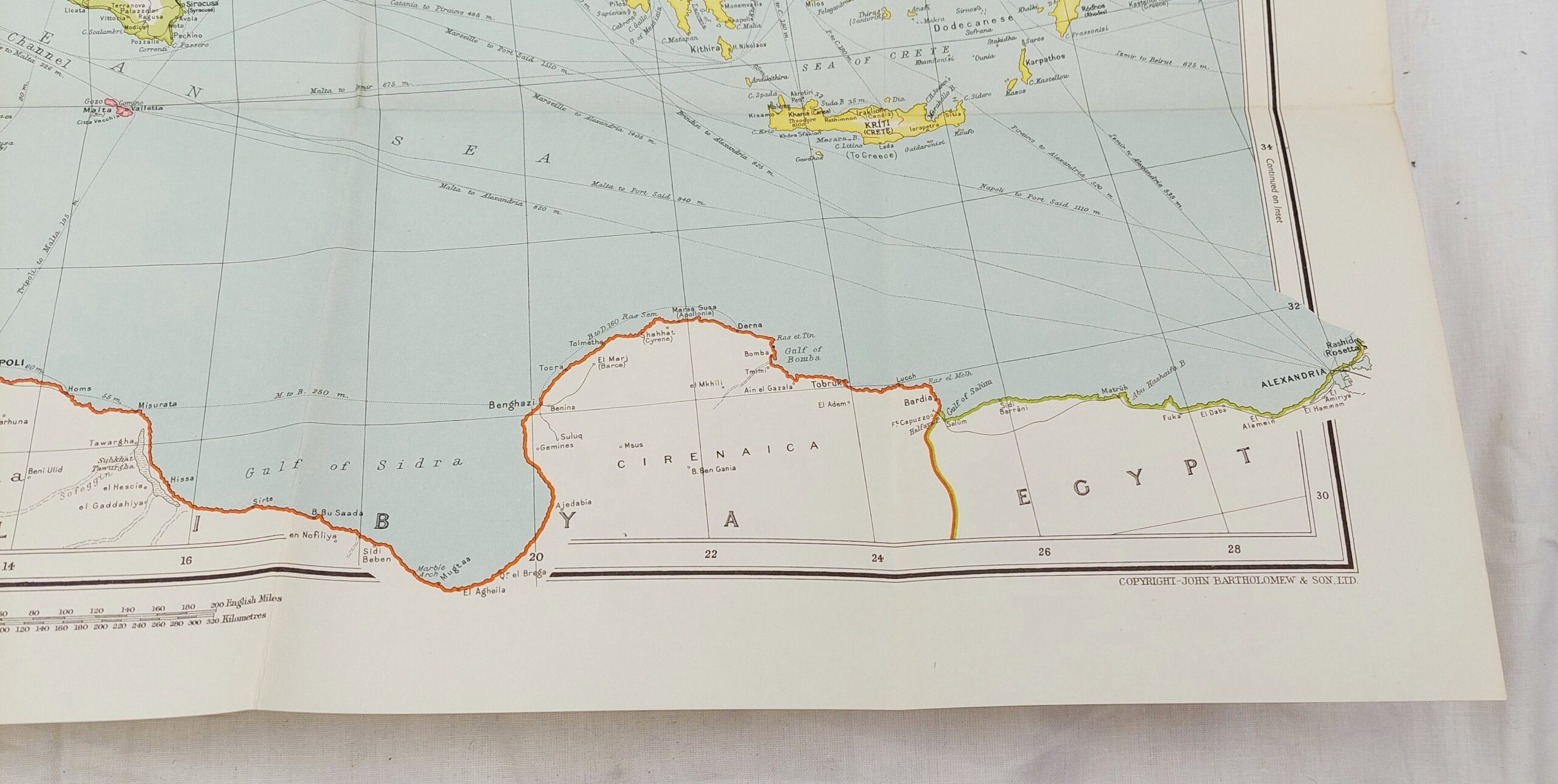
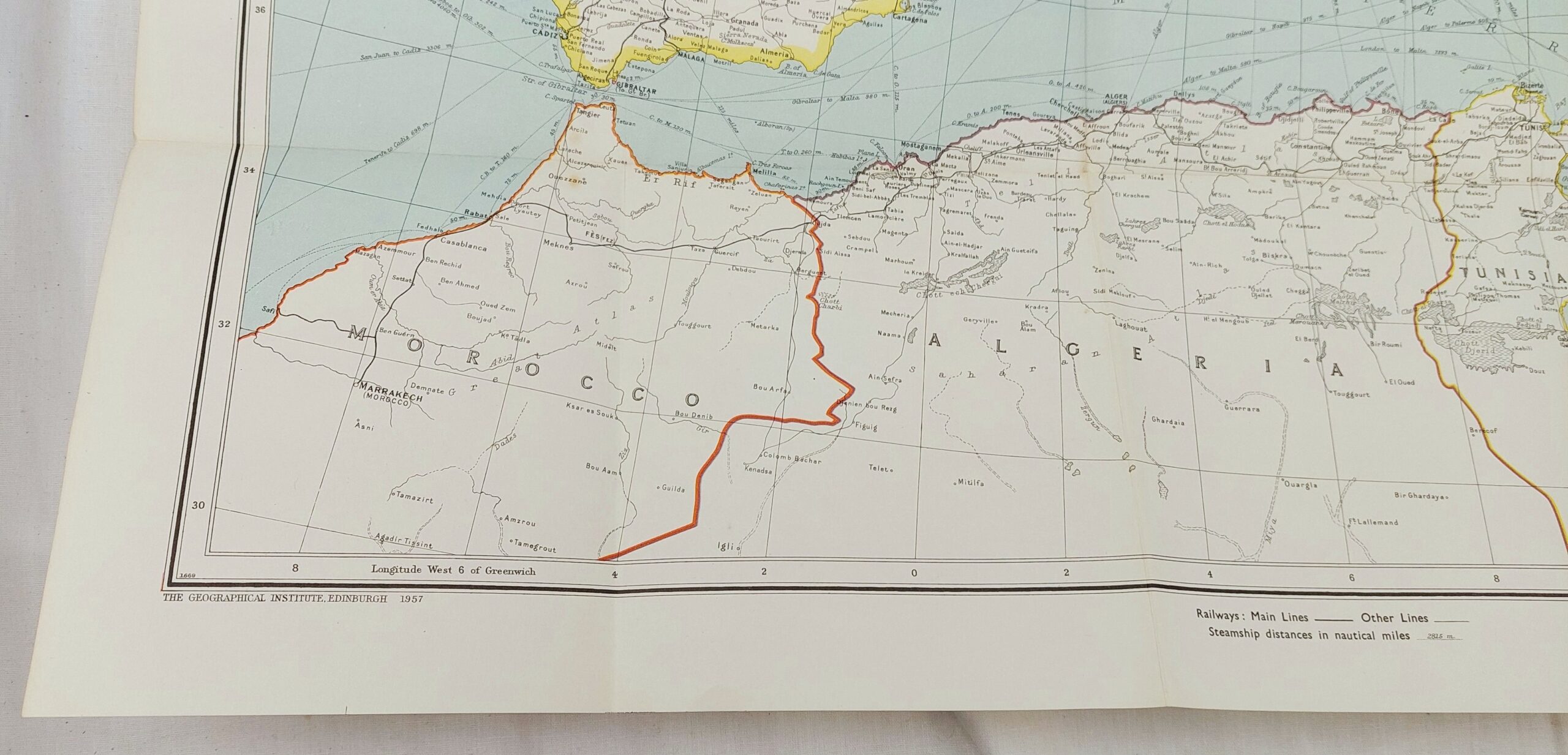
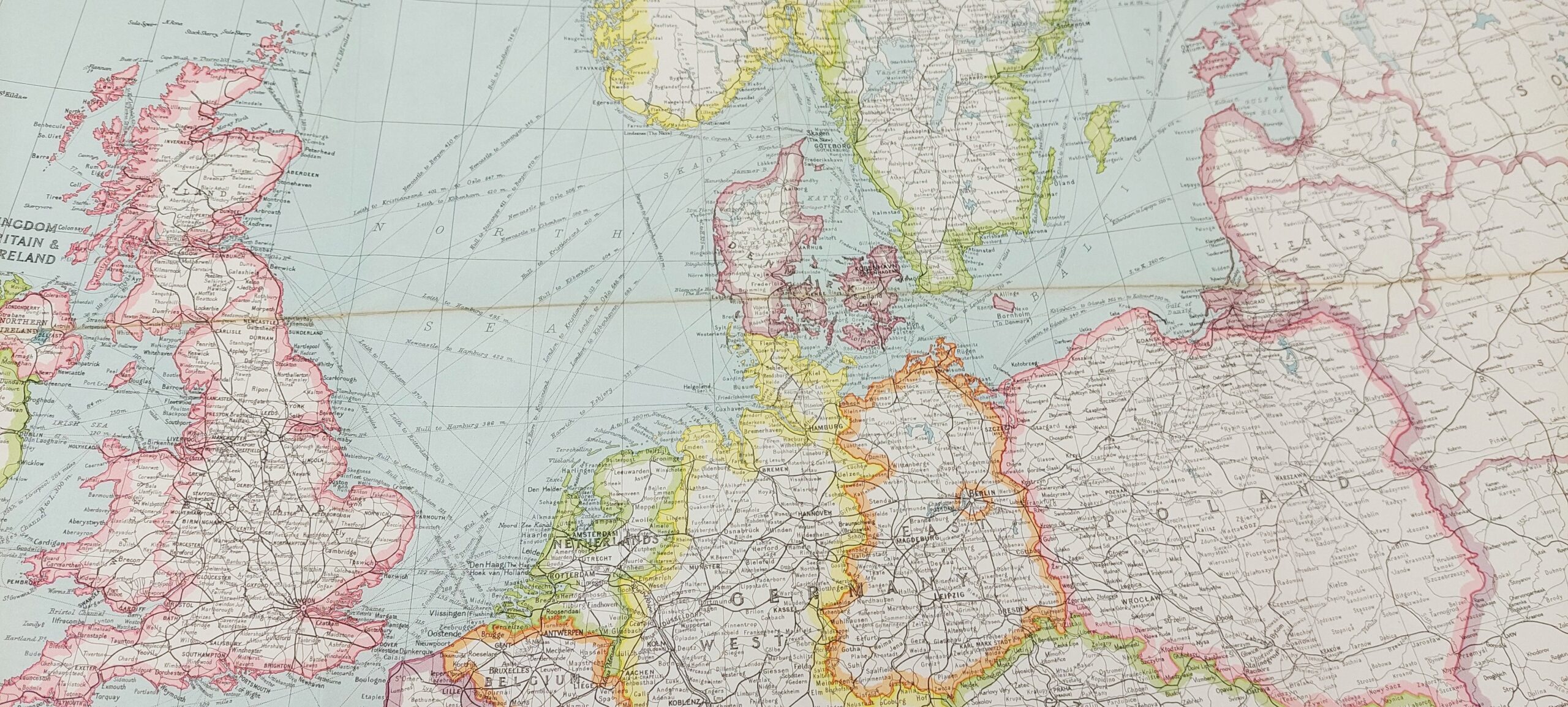
Bartholomew’s Political Map of Europe and the Mediterranean c1958
£40.00
1 in stock
Would you like to find out more about this product?
Enquire about this product
Your message was successfully sent!
Your message was sent. We will contact you shortly.
SKU: JA_8313141550 Category: Maps & Globes Tags: Bartholomew’s, c1958, Europe, Map, Mediterranean, Political
Related products
British, WW2, The Air Crew Europe Star Medal, with Ribbon and Bar
£365.00
Framed WW1 Relic Display With Bayonets Etc
£450.00
Hand Coloured Antique 1695 Map Of Lincolnshire By Robert Morden From Camdens Britannia*
£150.00
British, WW2, The Air Crew Europe Star Medal, with Ribbon
£345.00
WW2 British Navigators Map Of North Germany
£80.00
Original WW2 Marseille – Nice Army/Air Style War Office Map No. 2758 #2
£40.00
Original WW2 Marseille – Nice Army/Air Style War Office Map No. 2758
£40.00


