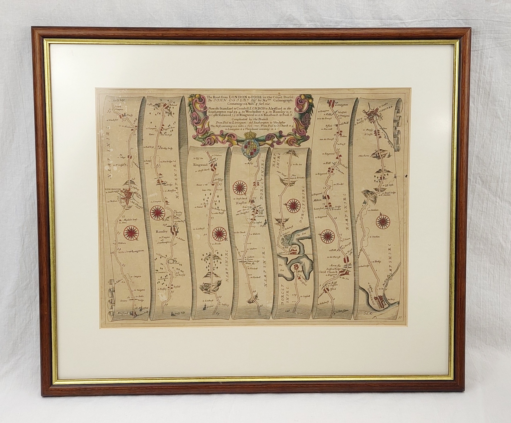
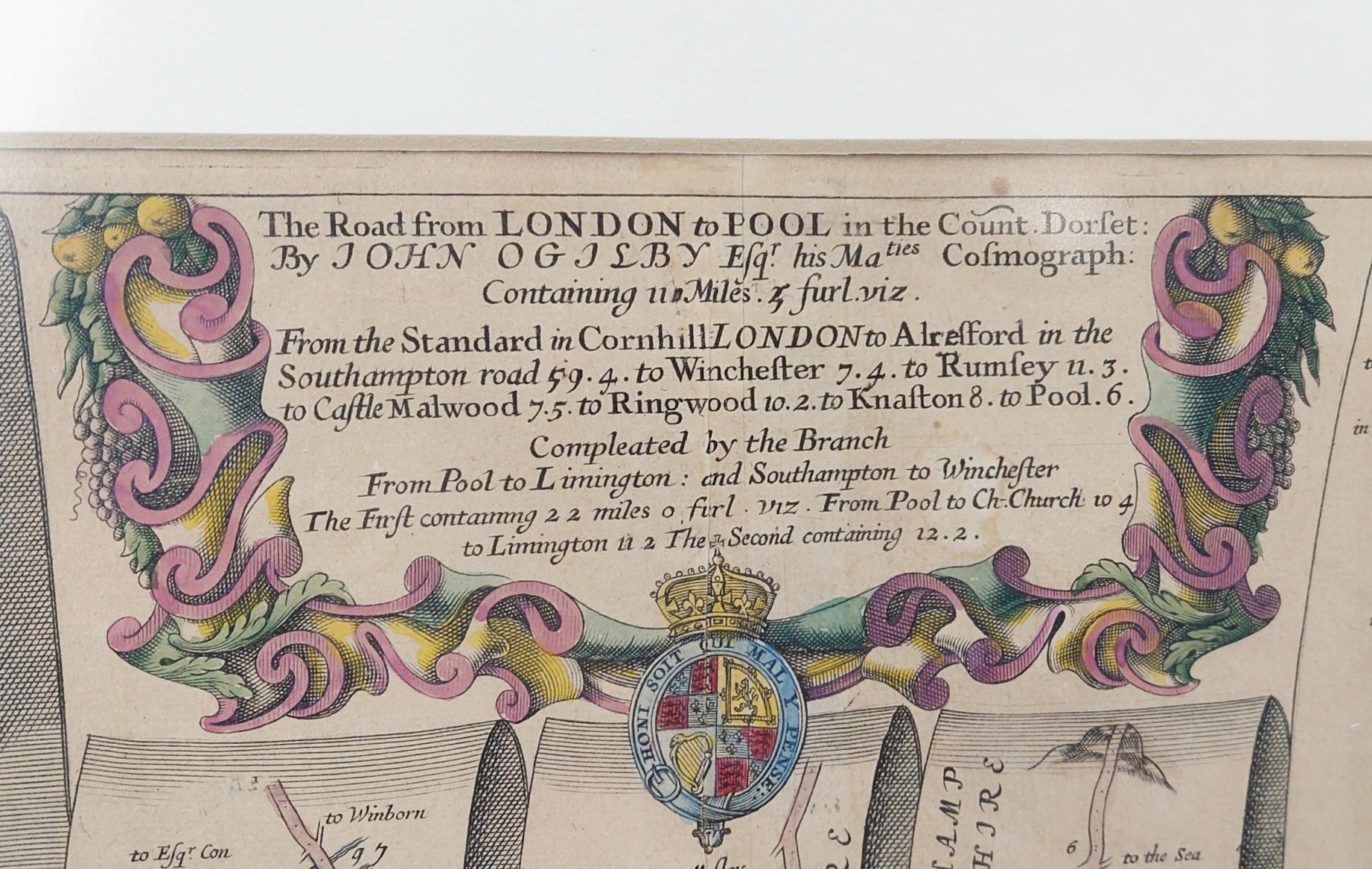
MapsFramed Hand Coloured Road Map London To Poole By John Ogilby 1600 To 1676
SKU / Ref. No: JA_8989220734*
£295.00
Your message was sent. We will contact you shortly.
~ Framed Hand Coloured Road Map London To Poole By John Ogilby 1600 To 1676 ~
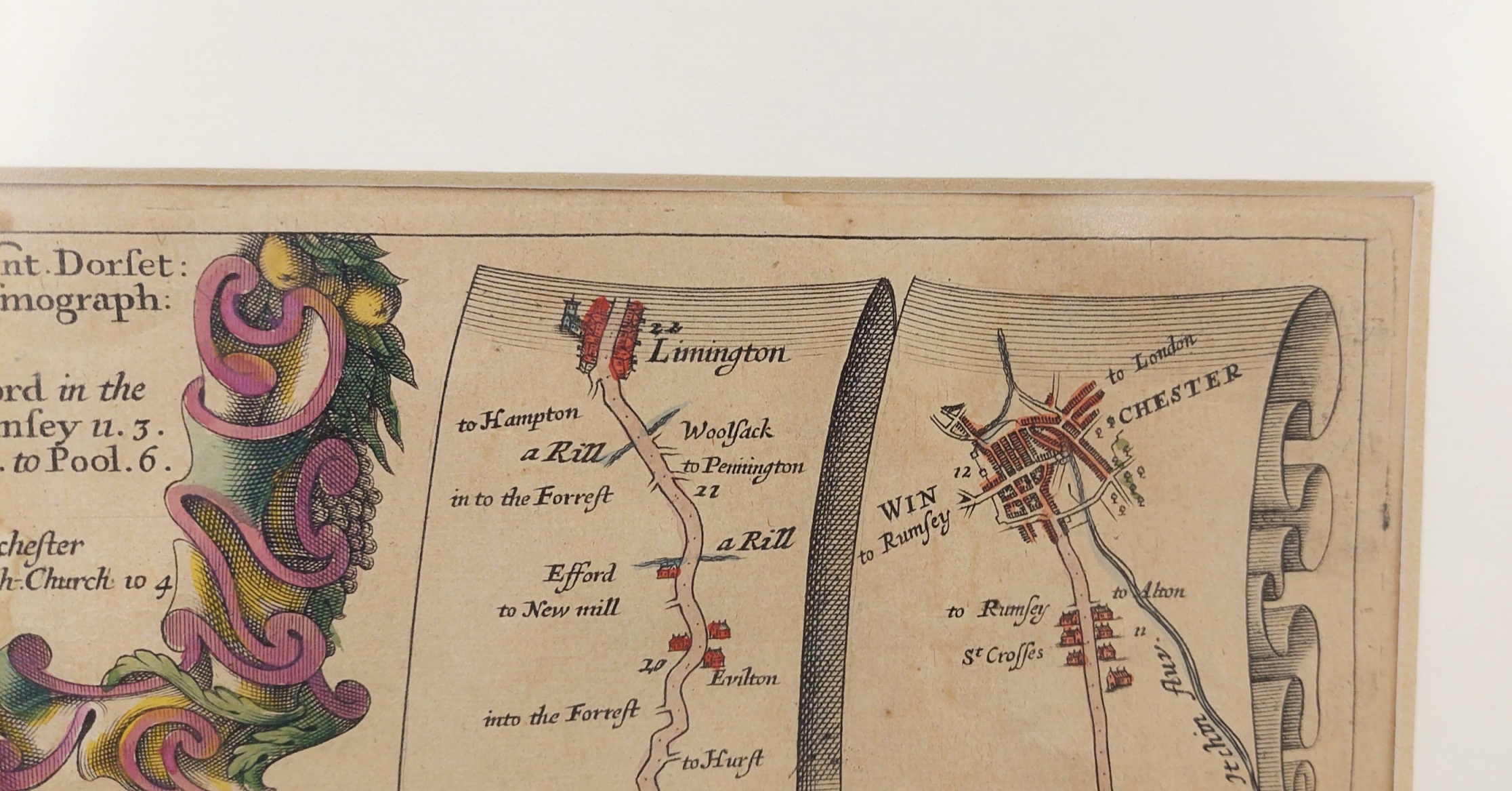
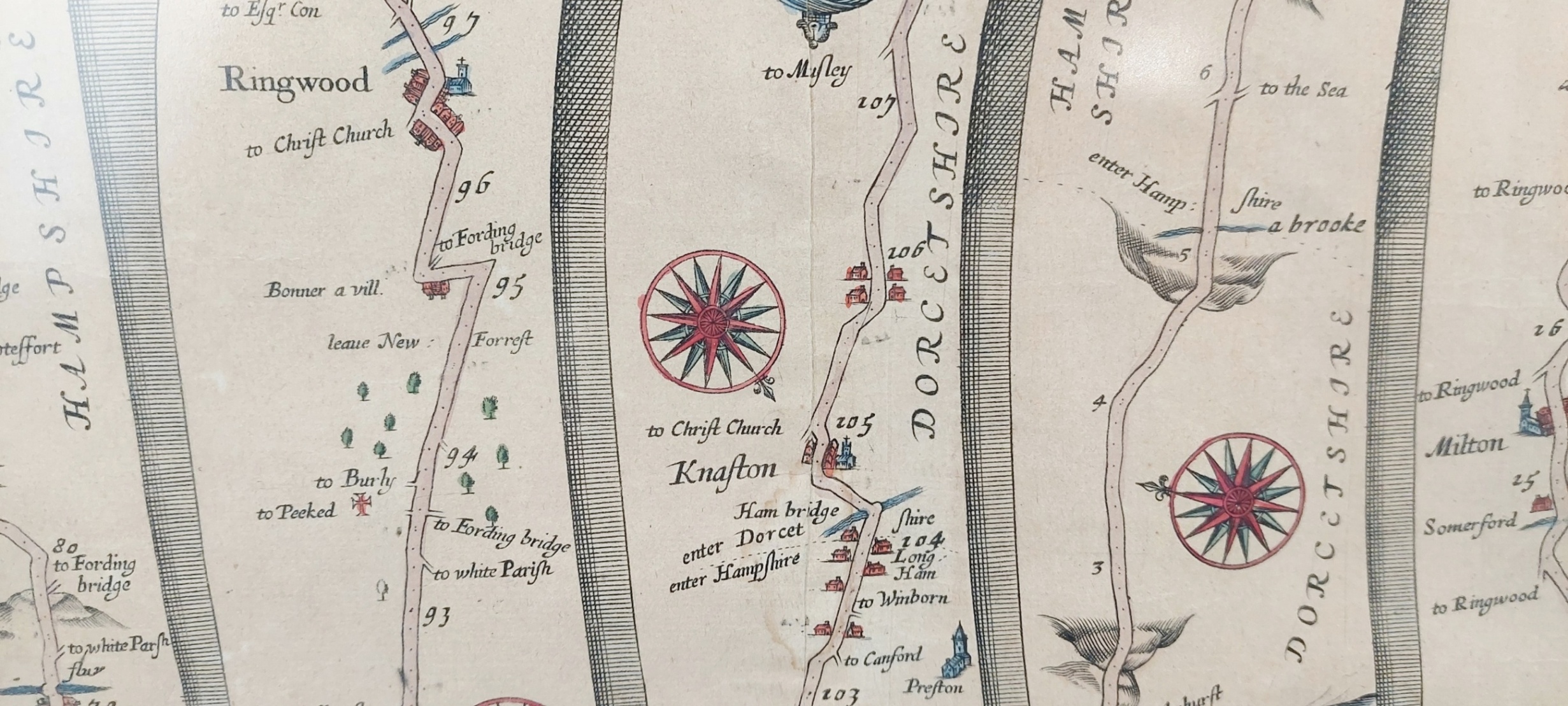
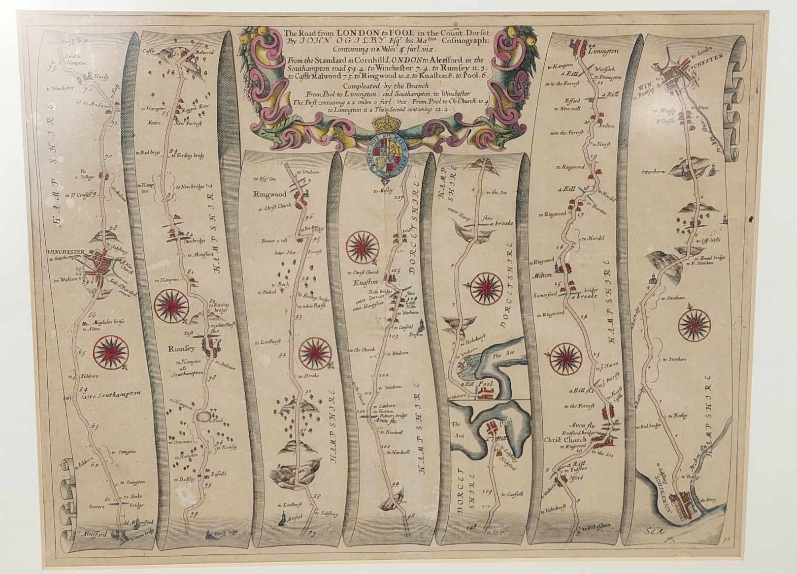
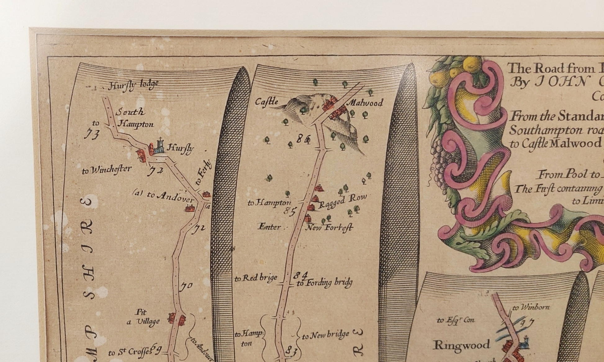
The map by John Ogilby (born 1600, died 1676) is titled 'The Road from London to Pool, in the County of Dorset'.
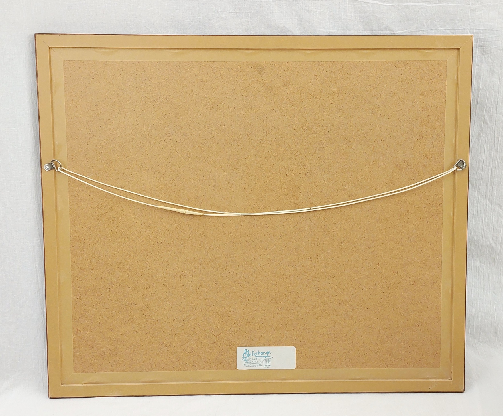
It is a hand-coloured strip road map which is presented in a glazed frame with a single card mount.
~ Condition ~
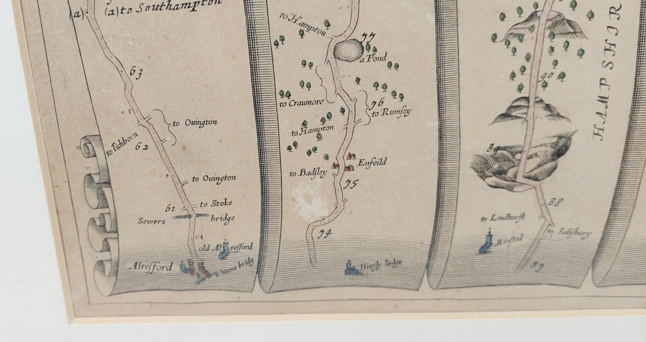
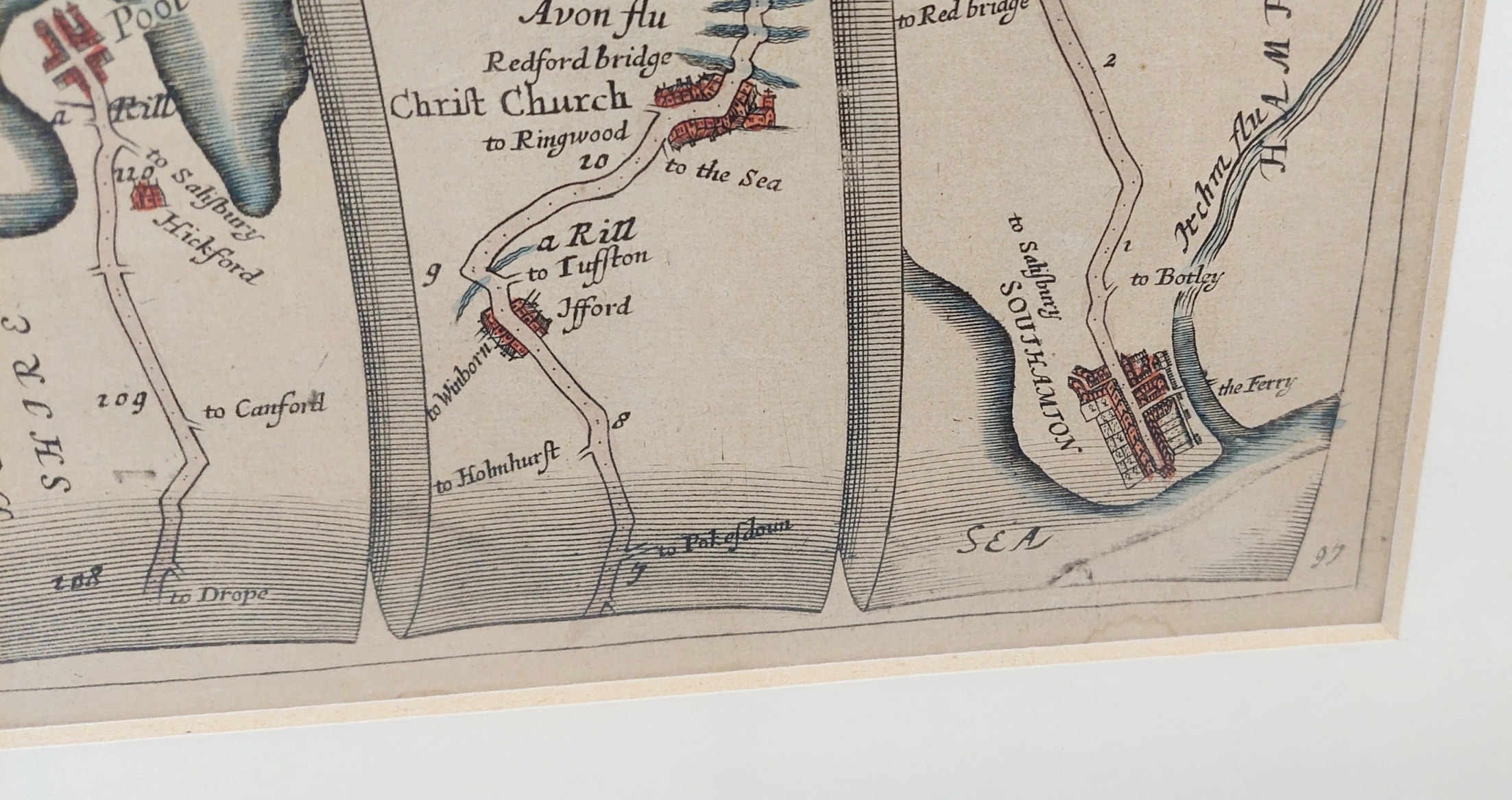
Please refer to the images for the condition.
~ Dimensions ~
The frame is 62cm (2 inches) wide and 53cm (2 inches) tall.