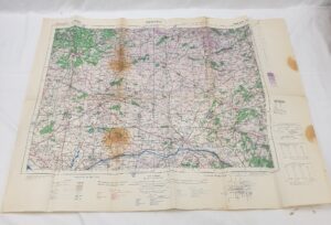
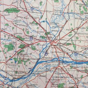
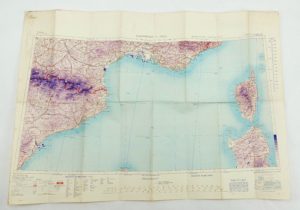
~ Bartholomew’s Political Map of Europe and the Mediterranean c1958 ~
A 1:5,000,000 scale map of Europe and the Mediterranean Published by John Bartholomew & son Ltd in 1958.
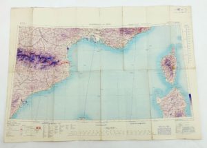
The map shows Europe and the northern coast of Africa, with boundaries in colour and with ralways, shipping and air routes.
The map has a heading of ‘Europe, Political and Railways’.
The lower edge reads: Copyright John Bartholomew & Son Ltd, The Geographical Institute, Edinburgh 1957.
The map is dated 1958 to the reverse.
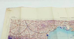
~ Dimensions ~
The map when laid out flat measures 77cm (30 ¼ inches) by 100cm (39 ¼ inches).
It folds down to 13cm (5 ¼ inches) by 21.5cm (8 ½ inches).
~ Condition ~
There is a little wear/discolouration to the folded edge and a couple of tiny holes where the folds meet but the map is overall in very good clean condition.
#16323
")
")
")
")
")
")
")
")
")
")
")