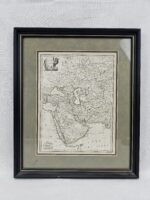
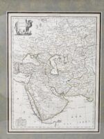
~ Pierre M. Lapie Circa 1830 Cartographic French Map Of Asia “Asie” ~
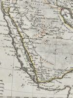
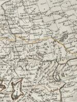
A hand coloured cartography map made by the famous French cartographer Pierre M. Lapie. This map depicts the historic Asia continent.
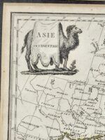
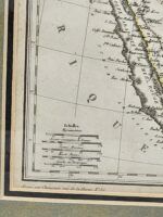
There is cartouche in the form of a camel with a sheet (& and “Asie” at top left, scales to the lower left).
The lower right corner has the text “grave par rue de la harpe no35” to the lower left corner & “Eerit Par Giraldon” to the lower right, “Longitude Du Meridien de Paris” to the top.
Pierre M. Lapie (flourished 1779 – 1850) was a French cartographer and engraver. He was the father of cartographerAlexandre Emile Lapie. Lapie was a Colonel in the French army, where he worked in the corps of topographical engineers. Lapie worked closely with his son and published works together and individually. The work of Lapie and his son was influential on German commercial map makers in the 19th century.[2Works by Lapie are held in the collection of the Library of Congress.
~ Dimensions ~
The frame has a height of 17 inches (43.3 cm), a width of 14 inches (35.6 cm) & a depth of 1 inches (2.6 cm).
The map has a height of 9 inches (22.9 cm) & a width of 12 inches (30.5 cm).
It weighs 1.08 Kg.
~ Condition ~
There is a small chip to the lower edge of the frame. The map is in good order.


